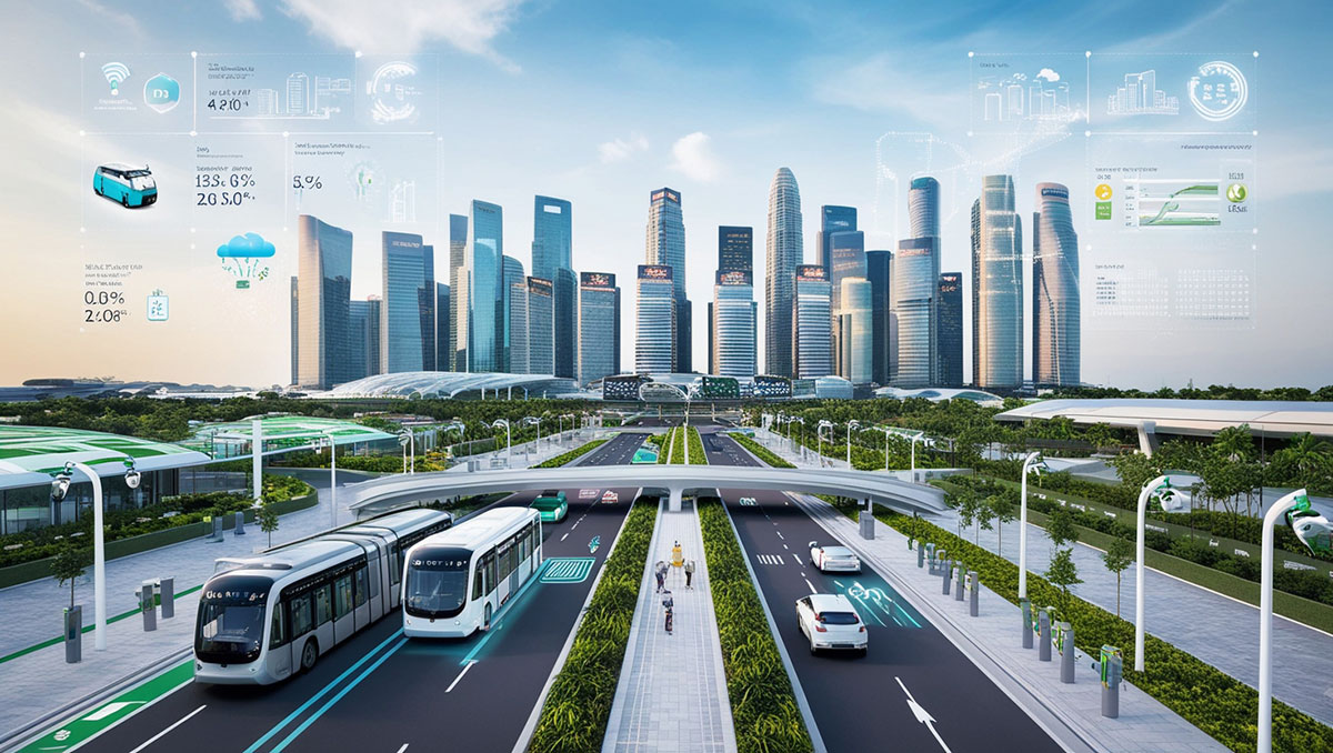
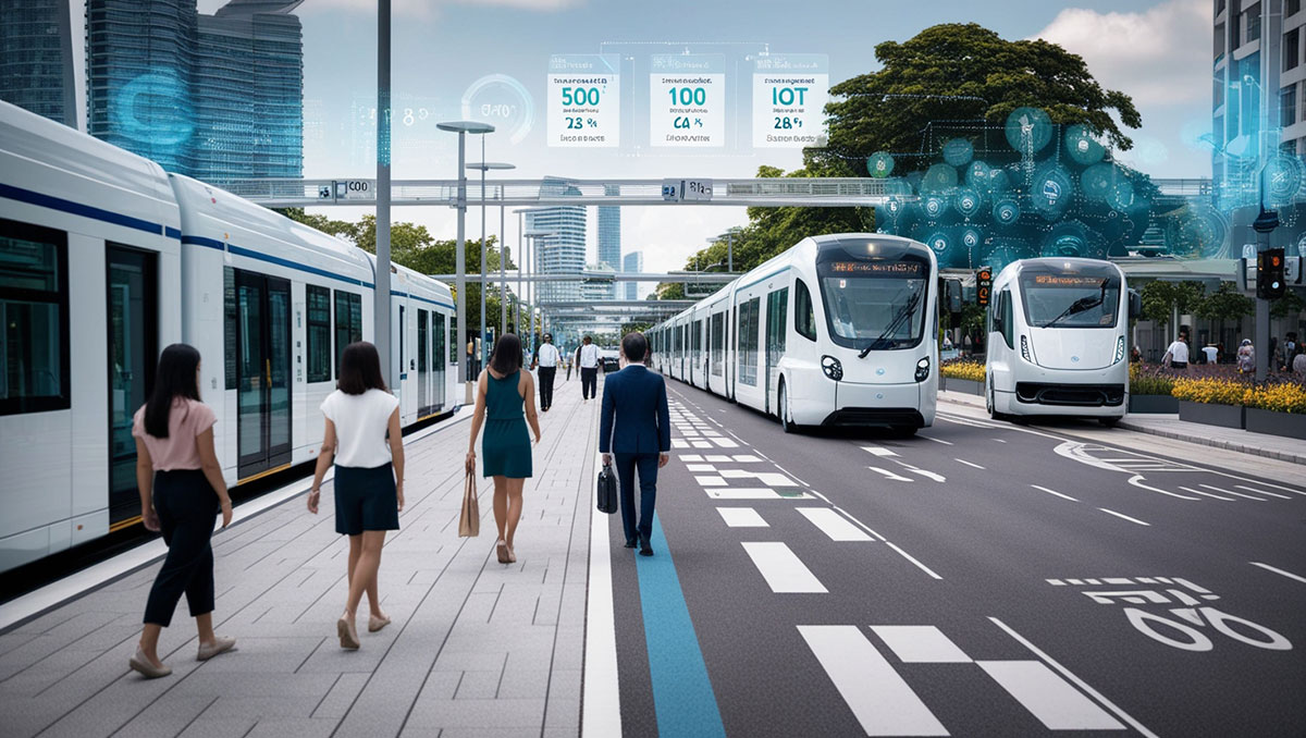
Geospatial information is fundamental to the operation of what is known by the emerging – and therefore subject to variation – term “smart city”. This information is made up of geographic data needed to make strategic decisions, with a view to building more efficient, sustainable and resilient urban centres. It is a system in which various fields of knowledge converge, whose function is the collection, management, interpretation and representation of geographic information.
Indeed, cloud-based platforms, integrated with digital geospatial models, allow municipal authorities to monitor and manage lighting networks, other critical infrastructure and maintenance programmes with unprecedented accuracy. As a result, resources are allocated rationally, while anticipating the needs of the urban community.
In urban planning, advanced spatial analyses often reveal patterns in population distribution, land use and topographical features that would otherwise be invisible. This information makes it possible to decide the location of public facilities, green spaces and residential developments according to a balance between accessibility and environmental preservation. The result is cities that grow organically and respect their fragile ecosystems.

Urban mobility is another issue that, thanks to real-time geospatial monitoring, is undergoing a major transformation. Intelligent systems process traffic flows, reconfigure public transport routes and guide drivers towards more efficient options. In doing so, they reduce congestion and pollutant emissions. In emergency or natural disaster situations, these same systems are a vital tool for coordinating responses and managing them most effectively.
Geospatial technology also helps democratise urban management. Certain applications make it possible to report incidents, propose improvements and actively participate in the design of urban space. It is a sort of common language that connects infrastructures, services and citizens. However, this promising system faces challenges: the protection of sensitive data, the difficulties of standardisation between platforms, and the training of specialised professionals are just some of these challenges.
By David González Molina, BIM manager in the Architecture Department of Amusement Logic


