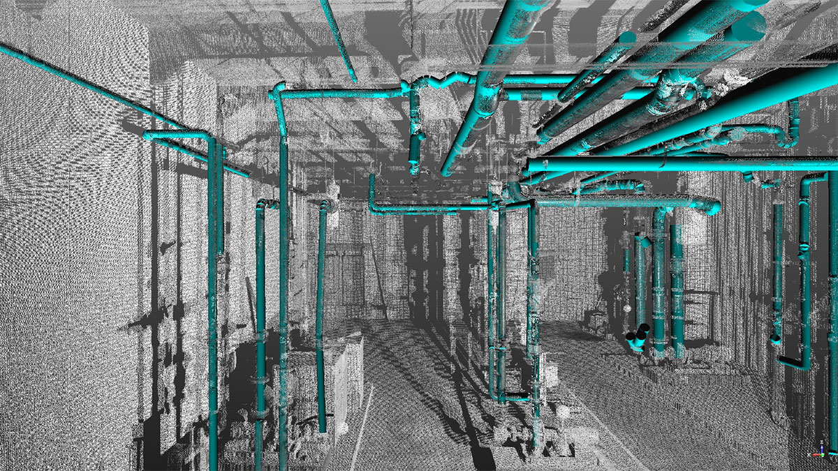
BIM methodology (Building Information Modelling) and GIS technology (Geographic Information System) have in common and share the “I” for Information. However, they differ in that, in the case of the BIM methodology, the information contains the specific building data, whilst in the case of the GIS model, the information contains the terrain’s parameters.
In recent years, computer programmers and developers in the AEC (Architecture, Engineering and Construction) sector have been working towards the integration of the two technologies. A notable example of this collaboration materialised in 2018 with the partnership between Autodesk and ESRI (see press release below).

https://commons.wikimedia.org/wiki/File:RapidEye_Satellites_Artist_Impression.jpg
The GIS model provides essential data on climate, orography, road infrastructures, altitudes, LIDAR (Light Detection and Ranging) information, cadastre, protected areas, various risks, among others. This wealth of information about the architectural and construction project environment is tremendously valuable for architects, designers, structural engineers and infrastructure engineers.
In the initial phases of the project, the integration of the GIS model and the BIM model is useful to analyse the suitability of the building construction on a given site. With it, technicians and professionals analyse issues such as sunlight and lighting incidence, wind assessments, etc. But this integration of models is not limited to the design phase; it also plays a crucial role in the construction phase and, once completed, in the operation of the building or project in question.
In the latter case, the concept of a “digital twin” is used, or a representation of the building that combines the BIM As Built model, the GIS model and real-time sensing.
By Pepe Ribera, Senior Architect in the Architecture Department at Amusement Logic
Press release: ESRI NEWSROOM.


