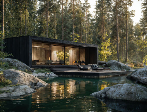
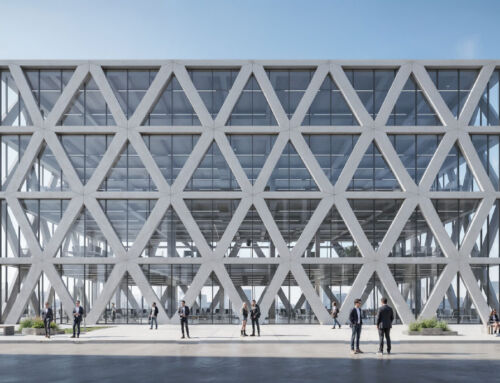
A Geographic Information System (GIS) is a computer programme that manages large volumes of geospatial or geolocation data. Using this software it is possible to model and perform 2D and 3D analysis and visualisations of the sites where architectural projects are located, during their design and construction, whether they are public infrastructures or leisure and tourism destinations such as water parks, theme parks, animal parks, hotels and resorts, shopping centres, campsites and others.

The integration of GIS with BIM methodology (Building Information Modelling) allows us to accurately and realistically situate the project whose design or construction we are dealing with in its location and geographical context, both in built and natural environments. In this way, we approach the work with a fully integrated approach. The building, infrastructure or facility and its spatial context form a unit, in perfect symbiosis.
By integrating GIS and BIM, we create a solid model of the real world that combines geographic information and design data. This deepens our understanding of the interaction of assets with their environment. That helps us make the right decisions, both in the design process and during construction.
Ultimately, the planning and management of architectural projects is carried out with maximum precision and efficiency in the use of resources. The integrated system therefore produces a positive economic, environmental and social impact, whether in the design and construction of urban infrastructures or leisure and tourism destinations such as hotels and resorts, shopping centres, campsites, water parks, theme parks and animal parks, which Amusement Logic carries out.
By José María Núñez, Senior Architect in the Architecture Department of Amusement Logic


