
For several years now, drones have become a useful tool in the construction sector. One of their main applications is monitoring the progress of building works. Through regular flights, it is possible to document how the works are progressing, compare the actual status with the planning, and detect any potential deviations. Furthermore, the images and three-dimensional models generated from them facilitate coordination between architectural, engineering and construction teams.
Drones also enable topographical surveys, land measurements and inspections of hard-to-reach areas. Consequently, their use reduces the time required for certain tasks and minimises staff exposure to hazardous situations. In large-scale projects, such as water parks or theme parks, they are particularly useful for monitoring the construction of infrastructure and earthworks.
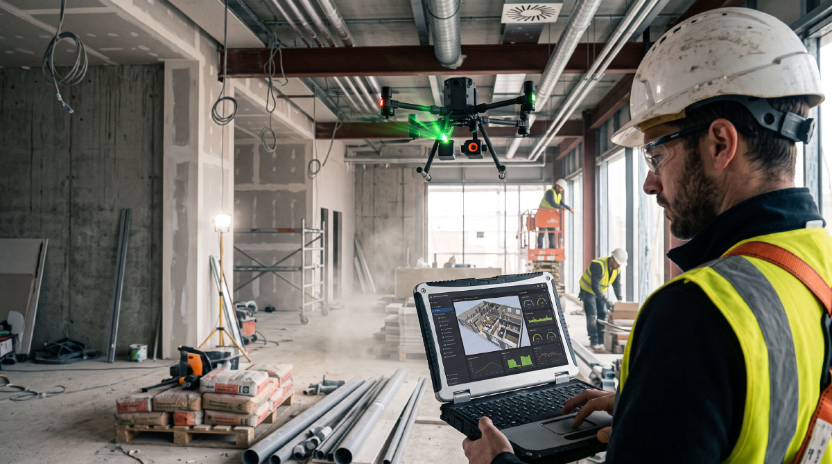
Their potential is further enhanced when they are integrated with digital tools such as BIM (Building Information Modelling). The data captured during flights is used to generate three-dimensional models of the actual state of the construction site and compare them with the planned design. In this way, drones become a source of data that helps to identify discrepancies, improve coordination and make more accurate decisions.
Beyond their ability to capture aerial imagery, drones open up new possibilities for carrying out construction work efficiently, safely and in a connected manner. Their integration with digital models and project management systems represents a further step towards a construction site where information is continuously updated, enabling potential problems to be anticipated before they arise.
By Pablo Vidal, senior architect in the Architecture Department at Amusement Logic